Llogara National Park
Llogara National Park
Just 40 km from Vlorë, Llogara National Park features a 1017 m pass, pine forests, protected wildlife and sweeping views over the Albanian Riviera.
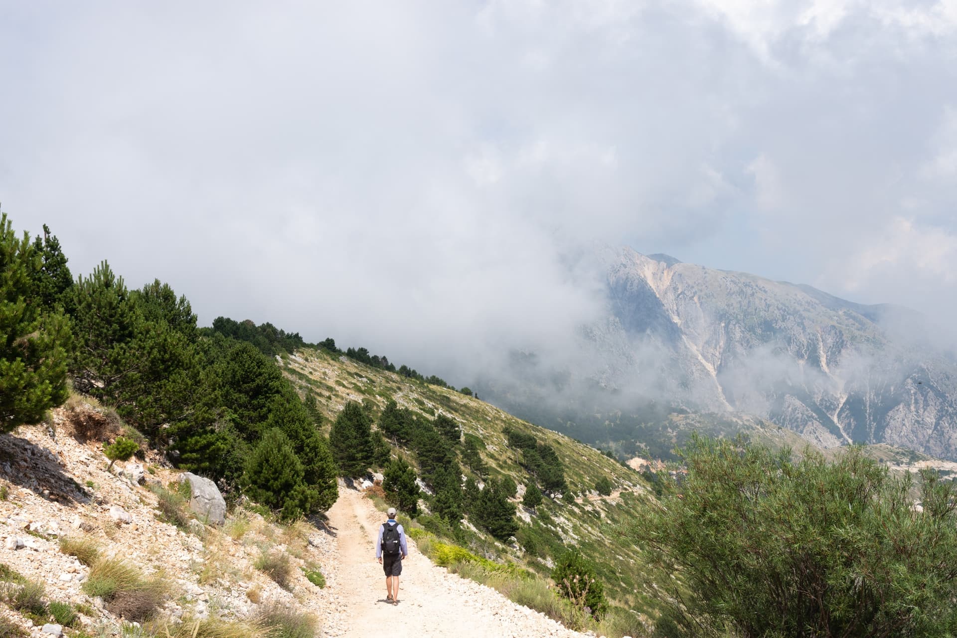
The Llogara National Park stretches across the heights of the Ceraunian Mountains, approximately 40 km southeast of Vlorë. National Road 8, which connects Fier to Saranda, crosses its pass at 1017 m altitude, a dividing point between the mountainous interior and the Ionian coast. Pine forests, alpine meadows and views over the sea characterize this protected territory since 1966.
Why visit Llogara National Park
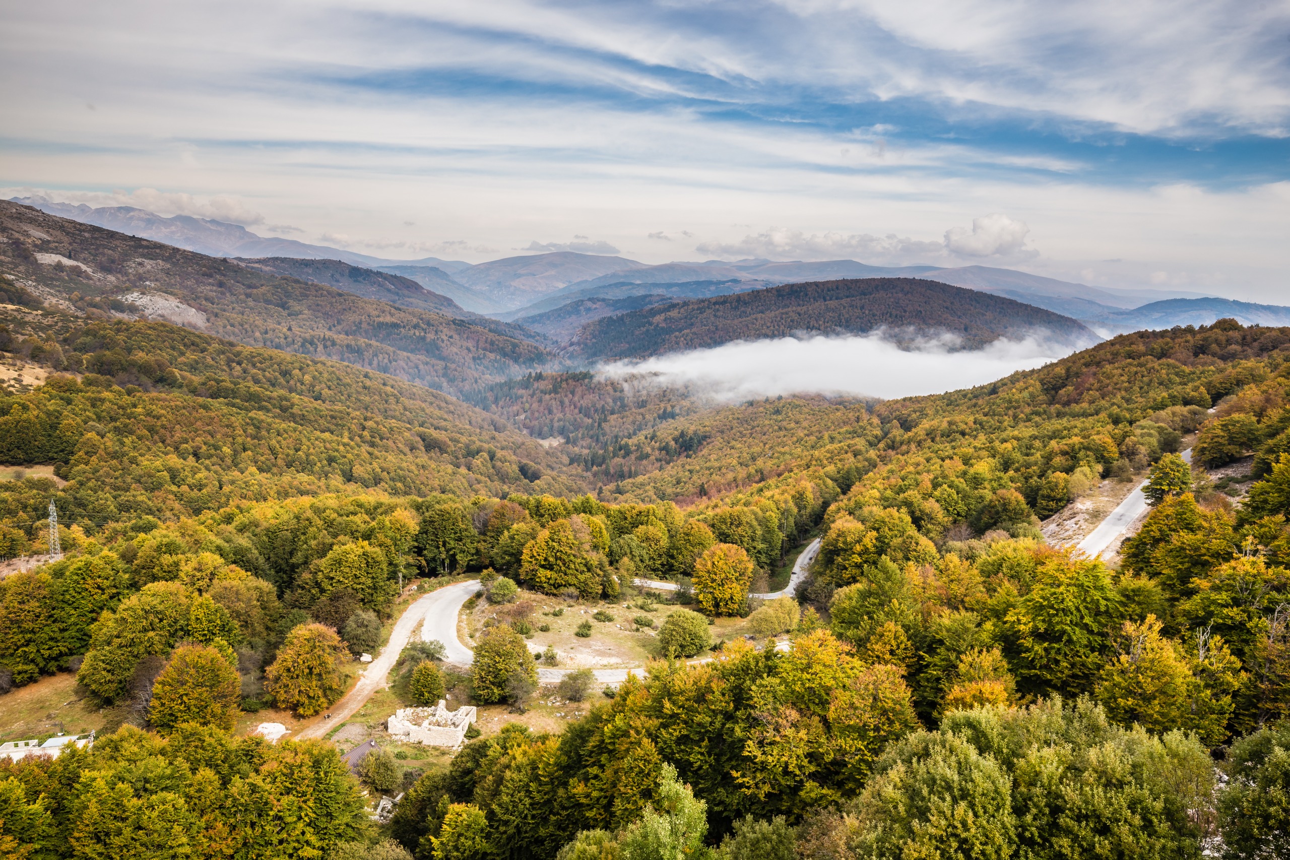
The park combines a mountain environment and a coastal climate within a compact area. Altitude ranges from 470 m to 2018 m, creating ecosystem diversity that is uncommon in Albanie. The cool heights offer a welcome contrast to the summer heat of the coast, and several trails allow exploration of the massif on foot.
The site lends itself to multiple uses: hiking, picnicking, wildlife observation and aerial sports. The southern part of the park regularly hosts international paragliding competitions organized under the FAI's auspices, taking advantage of the aerological conditions generated by the abrupt terrain facing the sea.
History of the site
The road crossing the park has its origins during World War I, when southern Albanie was under Italian occupation. Prisoners of the Austro-Hungarian Empire were subjected to forced labour to open the route through the mountain. The track was paved under the communist regime in 1970, then rehabilitated in 2000.
The area received national park status in 1966, but it was only after the road's renovation that the Llogara pass became established as a tourist stop on the country's north-south axis. The Caesar Pass, another crossing point in the park, takes its name from Julius Caesar, who is said to have crossed this ridge while pursuing Pompey during the Roman civil war.
What to see in the park
Panoramas from the pass
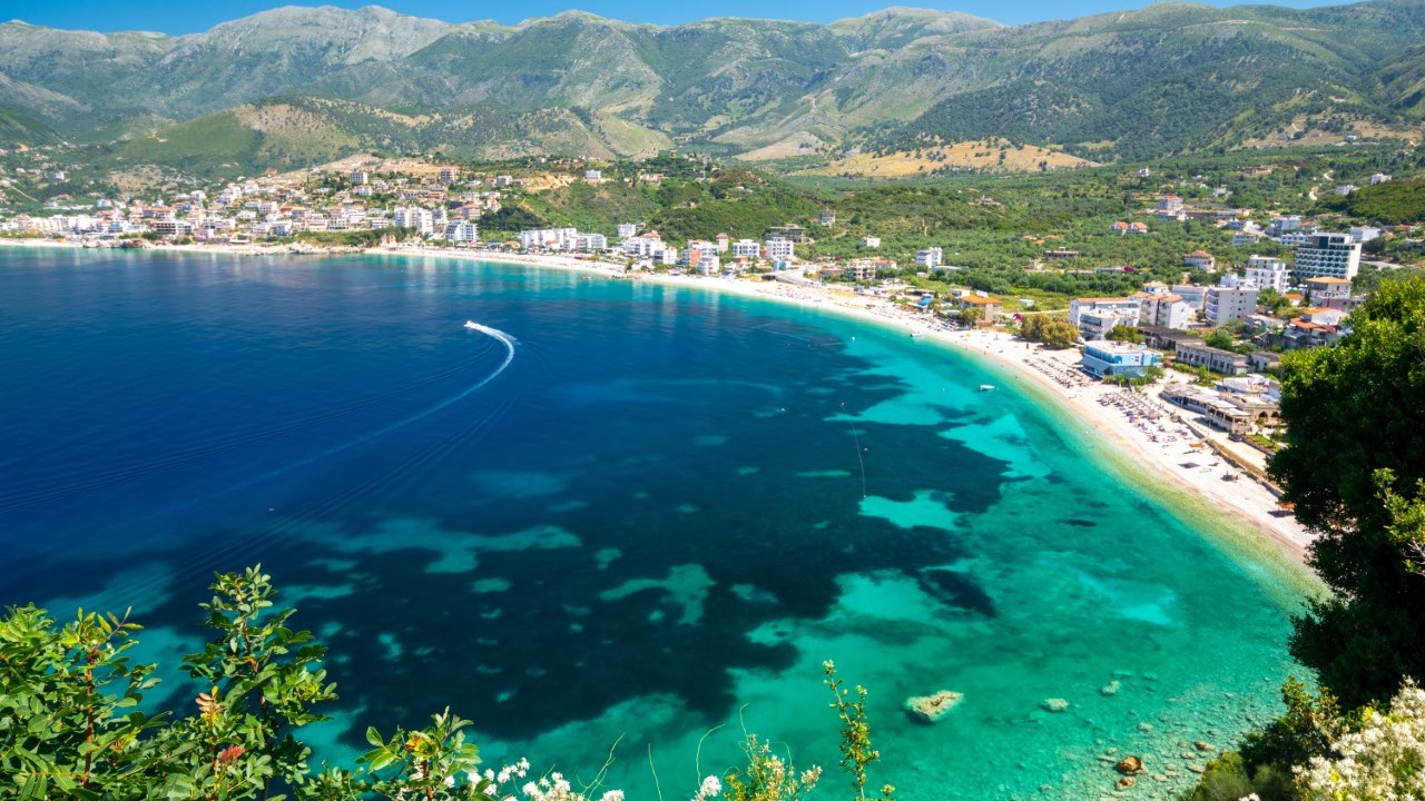
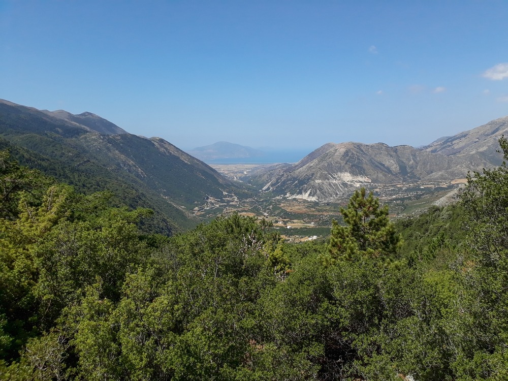
Reaching 1017 m, the road reveals an open view of the Ionian Sea and the islands off the Albanian Riviera coast. A viewpoint situated on Çika Mountain, not far from the summit, overlooks Palasë Beach, a stretch of sand about 1.5 km long. The scent of pines and medicinal plants fills the air at this altitude.
The Pisha e Flamurit
The Pisha e Flamurit ("flag pine") is an emblematic tree of the park, its silhouette shaped over decades by the winds that sweep across the ridges. It ranks among the most famous photo stops on the site.
Fauna and flora
The park is home to notable biodiversity:
- Forests of firs, pines and oaks, complemented by alpine meadows at higher elevations
- Birds: golden eagle, griffon vulture, partridge
- Mammals: chamois, roe deer, red fox, red squirrel, stone marten, European wildcat
- Mustelids: European otter and Eurasian otter
Practical information
- Area: 1010 hectares, one of the country's largest national parks
- Altitude: 470 m to 2018 m
- Duration of visit: 2 to 3 hours for a panoramic stop with a short walk; a full day if you wish to hike or follow multiple trails
- Equipment: closed-toe shoes, windbreaker (the pass remains cool even in summer), water
- Accommodation: several lodges and chalets are located sheltered by tall trees, around the park village
When to go
The park benefits from a Mediterranean climate influenced by altitude. Average temperatures range between 12 °C in January and 32 °C in July, with annual rainfall between 1000 and 1200 mm depending on the area. The most favourable period extends from June to September, when trails are passable and visibility over the coast is optimal. In winter, snow frequently covers the peaks and some routes become difficult to access.
How to get there
The park is located on National Road 8 connecting Fier to Saranda. Several access options exist:
- By bus: connections from Tirana or Vlorë to Saranda, Himara and Dhermi pass through the park's tourist village.
- By minibus: from Vlorë, minibuses serve the site directly, with departures concentrated in the early morning.
- By car: follow National Road 8 from Fier or from Vlorë heading south.
What to see nearby
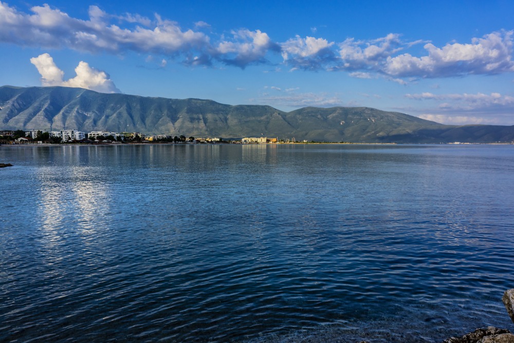
The park is part of a larger ensemble of natural spaces and coastal sites in southern Albanie. You can extend your exploration towards Karaburun Peninsula, which encloses Vlorë Bay, or towards Germenj-Shelegur National Park further inland. The pastures exploited for centuries around Llogara sustain a local cuisine renowned for its lamb meat and dairy products, to be savoured in the pass inns or in the Riviera villages.
Frequently asked questions
Frequently asked questions
Planning your itinerary in Albanie
Llogara National Park fits naturally into a route connecting Vlorë to the Albanian Riviera and the south of the country. To build a stay combining mountain, Ionian coast and heritage, consult our customized trips to Albanie designed by our local specialists.
Nearby
Interested in this visit?
We can include it in your personalised itinerary.