Complete Albania guide
Albania spans just 28,000 km² yet features four very distinct landscapes. In the north, the Albanian Alps (Bjeshkët e Nemuna) peak at 2,694 m at Maja Jezercë and shelter the villages of Theth and Valbona, connected by a heavily-traveled 17 km trail in summer. In the center, Tirana, the capital, concentrates 900,000 inhabitants, its colorful facades in the Blloku district and bunkers converted into museums (Bunk'Art 1 and 2). Further south, Berat and Gjirokastër, UNESCO-listed, preserve their stacked-window Ottoman houses.
The coast divides into two: the Ionian Riviera between Vlorë and Sarandë, with its coves of Gjipe and Ksamil facing Corfu, and the flatter Adriatic coast, where Durrës concentrates family beach resorts. Inland, Lake Ohrid (near Pogradec) and Lake Skadar mark borders with North Macedonia and Montenegro. Driving remains slow: allow 4 hours for 200 km on secondary roads, and a 4x4 is useful for reaching Theth or Llogara National Park.
Our English-speaking team based in Tirana recommends combining two regions for a 10-day trip, three for 15 days. Beyond that, the pace intensifies and the coast requires time to be properly enjoyed outside the season.
The regions of Albania
Each region has its own personality: climate, landscapes, pace of life and ways of traveling. Our local team helps you choose the combination that suits you.
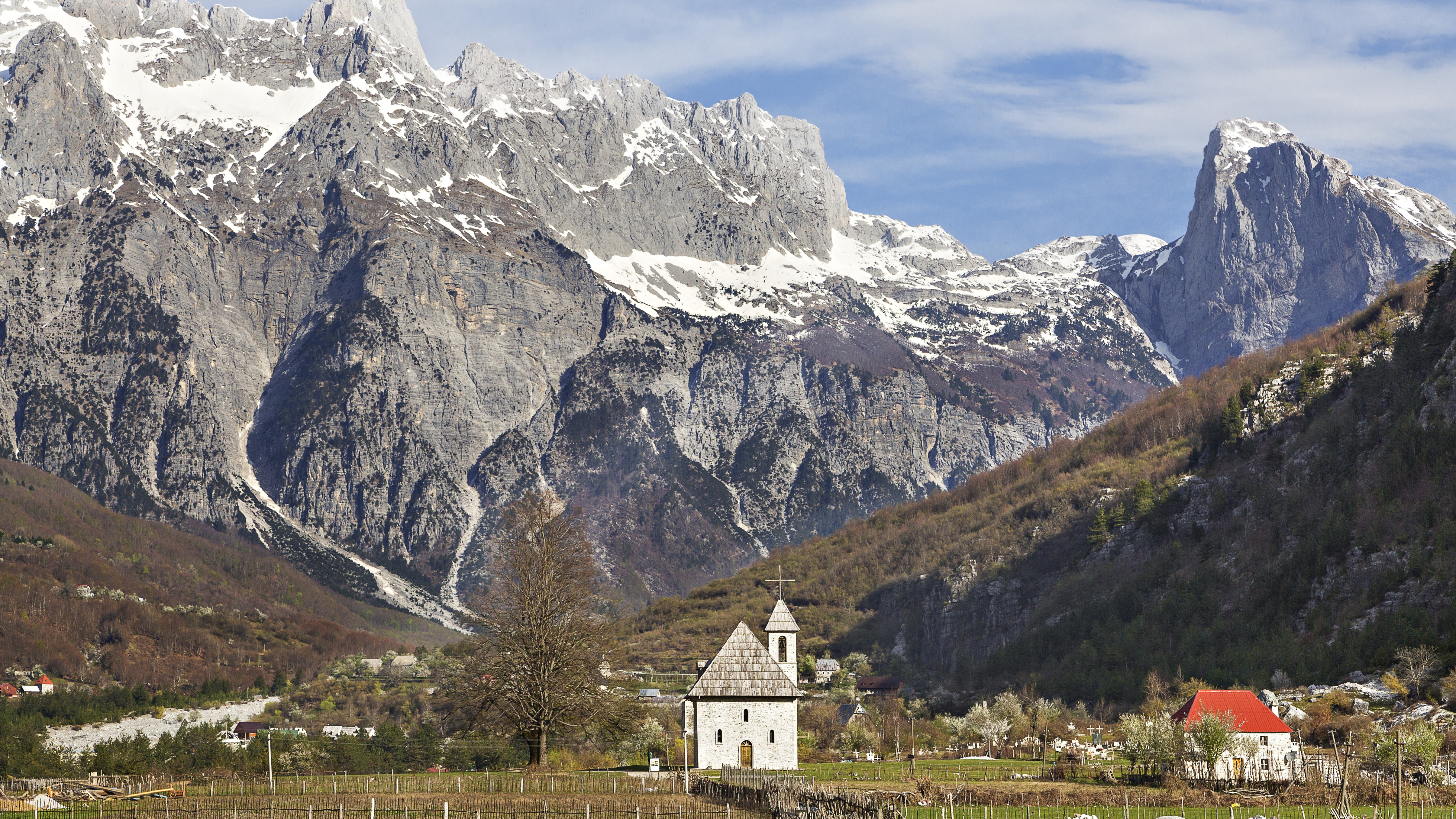
Albanian Alps
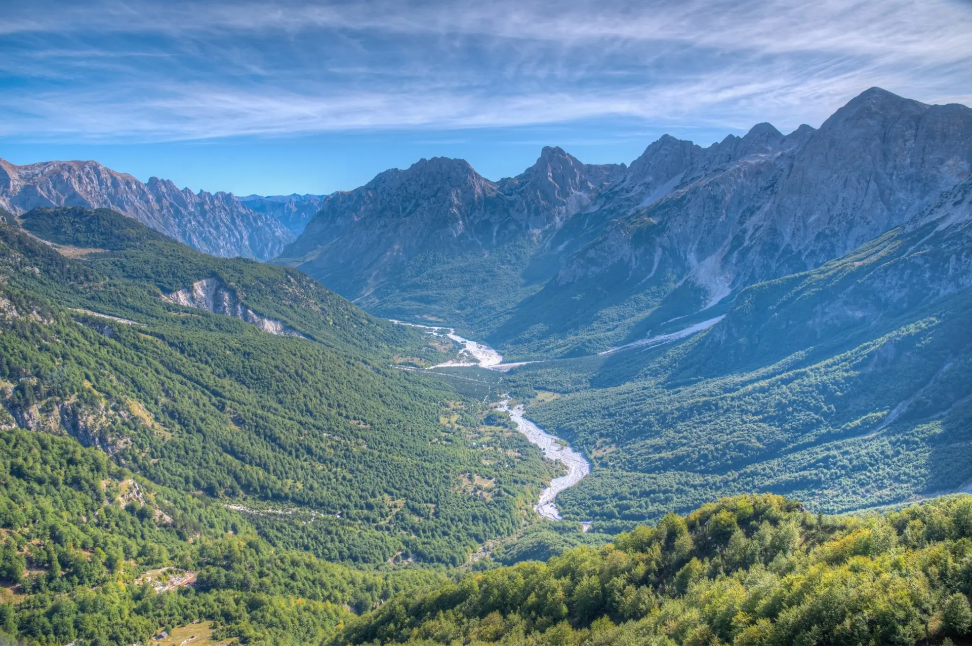
In the north, the villages of Theth and Valbona lie deep within glacial valleys surrounded by peaks over 2,500 m high. Visitors come for the Valbona Pass hike (1,759 m, 6 to 8 hours of trekking), the stone kullas—family refuge towers rooted in the customary kanun law—and tables laden with fli, a flaky pastry cooked under embers. Access is via Shkodër then ferry across Lake Koman, a 2.5-hour crossing through a narrow gorge. The best season runs from mid-May to mid-October, as roads are often closed by snow for the rest of the year.
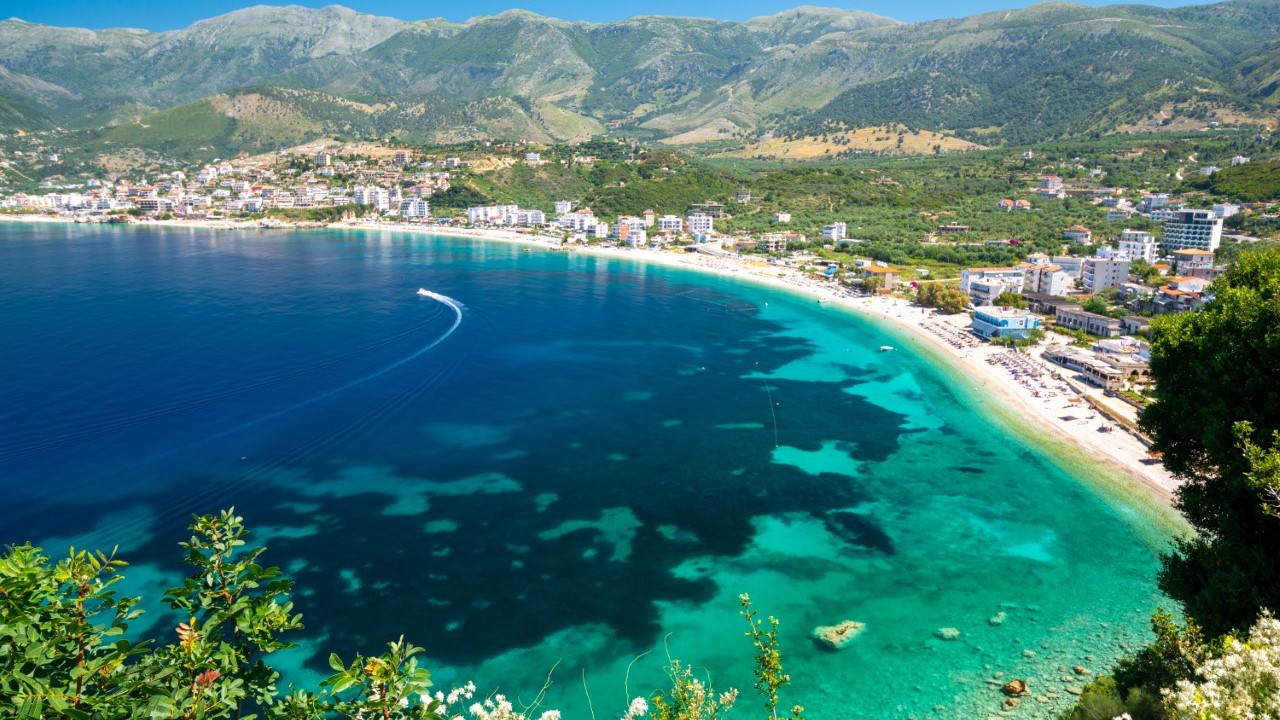
Ionian Riviera
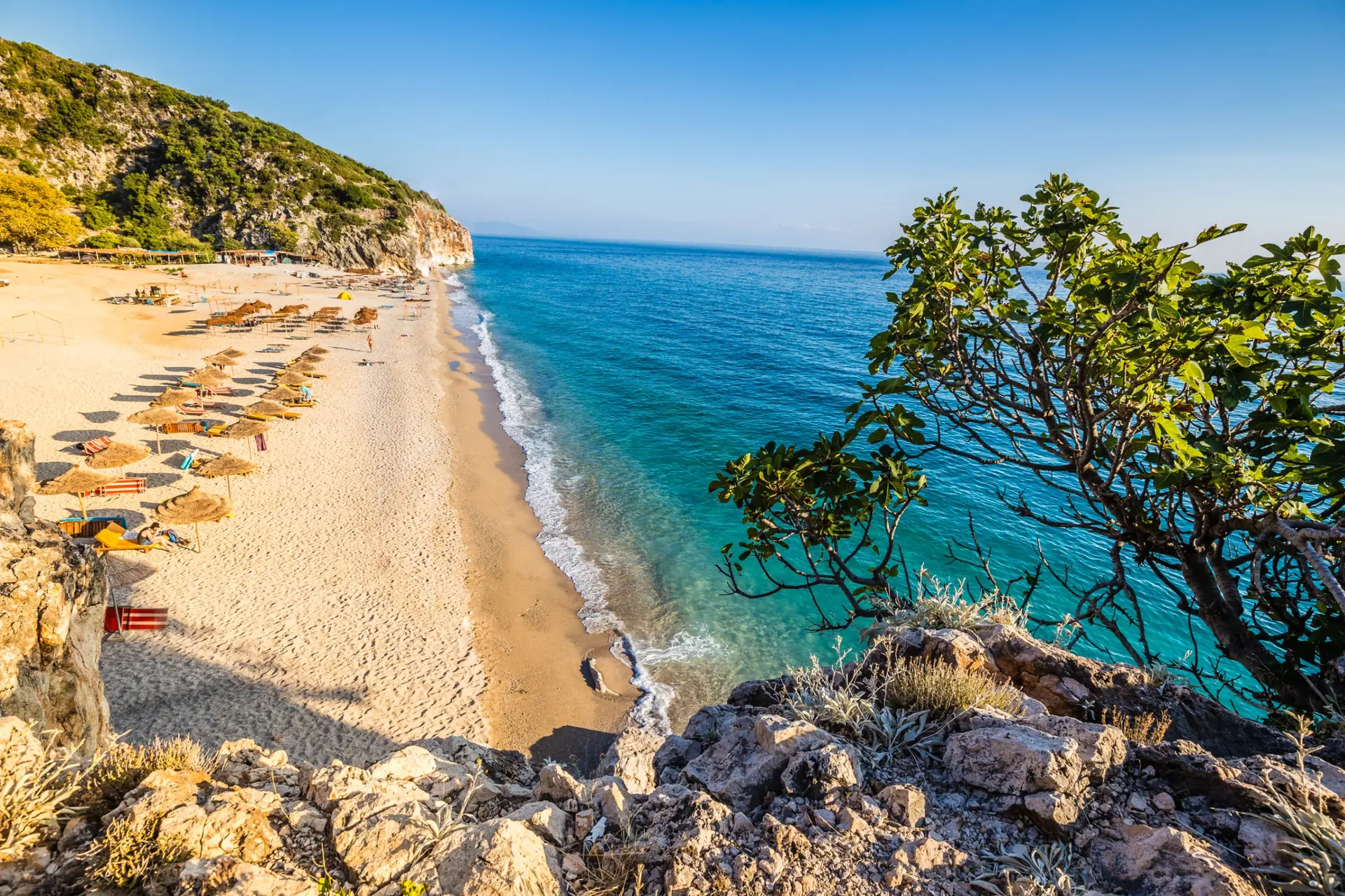
Between Llogara Pass (1,027 m) and Sarandë, the SH8 road hugs a limestone coast dotted with coves (Gjipe, Krorëz, Kakome) and villages like Dhërmi, Himarë and Qeparo, where tavë kosi with lamb and yogurt is still cooked the traditional way. The water reaches 26°C in August, but June and September offer a more pleasant balance without the summer crowds. Ksamil and its islets accessible by swimming close off the coast to the south, 30 minutes from the ancient site of Butrint. Allow 4 hours of driving from Tirana, sometimes more during peak season.
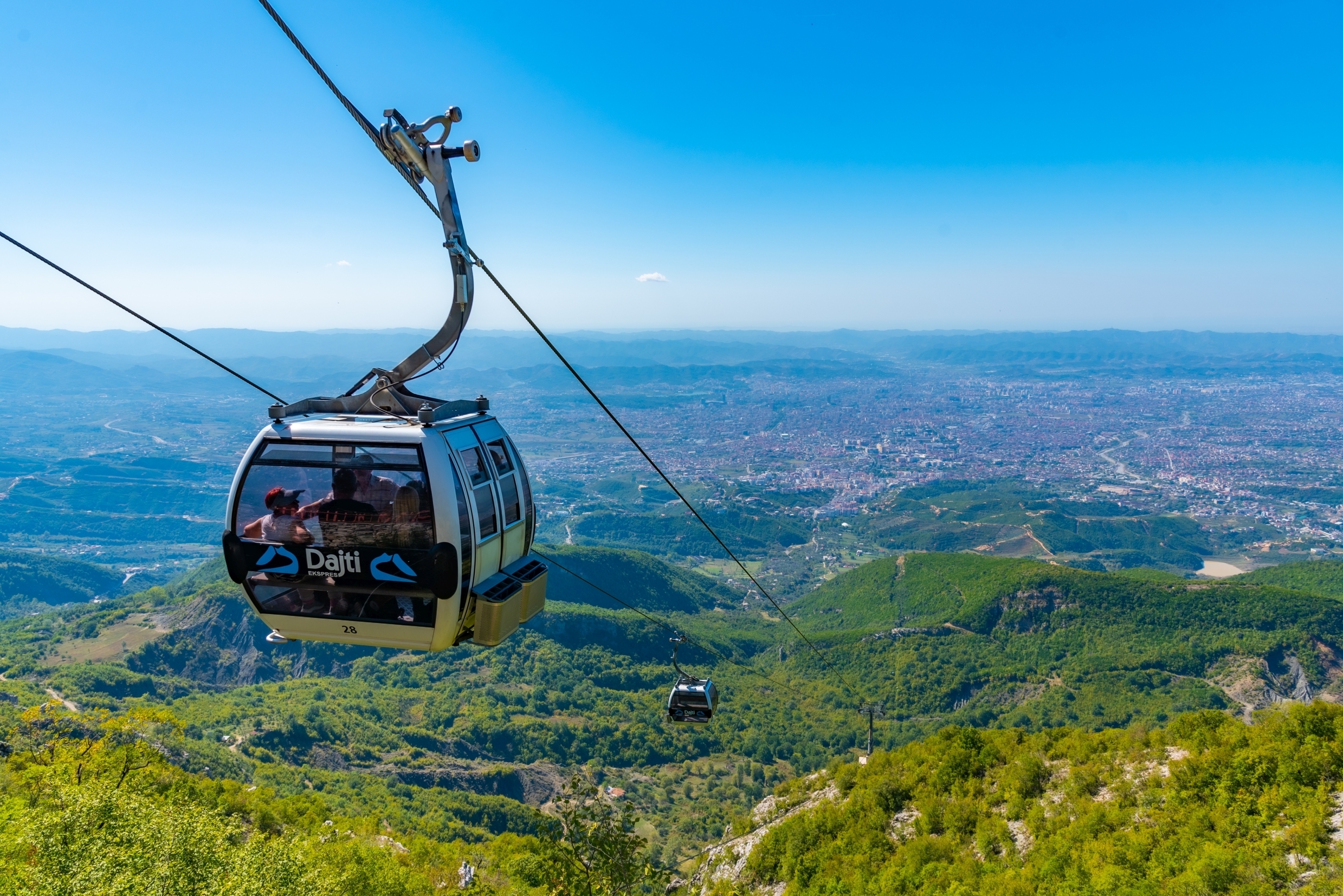
Tirana and centre
The capital is organized around Skanderbeg Square and Dëshmorët e Kombit Boulevard, a legacy of Italian urban planning from the 1930s. The Blloku district, formerly an exclusive enclave reserved for the nomenklatura under Enver Hoxha, concentrates cafés and restaurants. A 30-minute journey away, Mount Dajti (1,613 m) can be reached by cable car. To the south, Kruja with its Ottoman bazaar, then Elbasan open onto the hinterland. The climate is continental: 32°C in July-August, 8°C in January. Our agency is based here, the logical starting point for most of our itineraries.
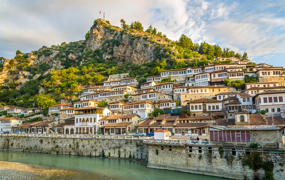
Berat and Gjirokastër
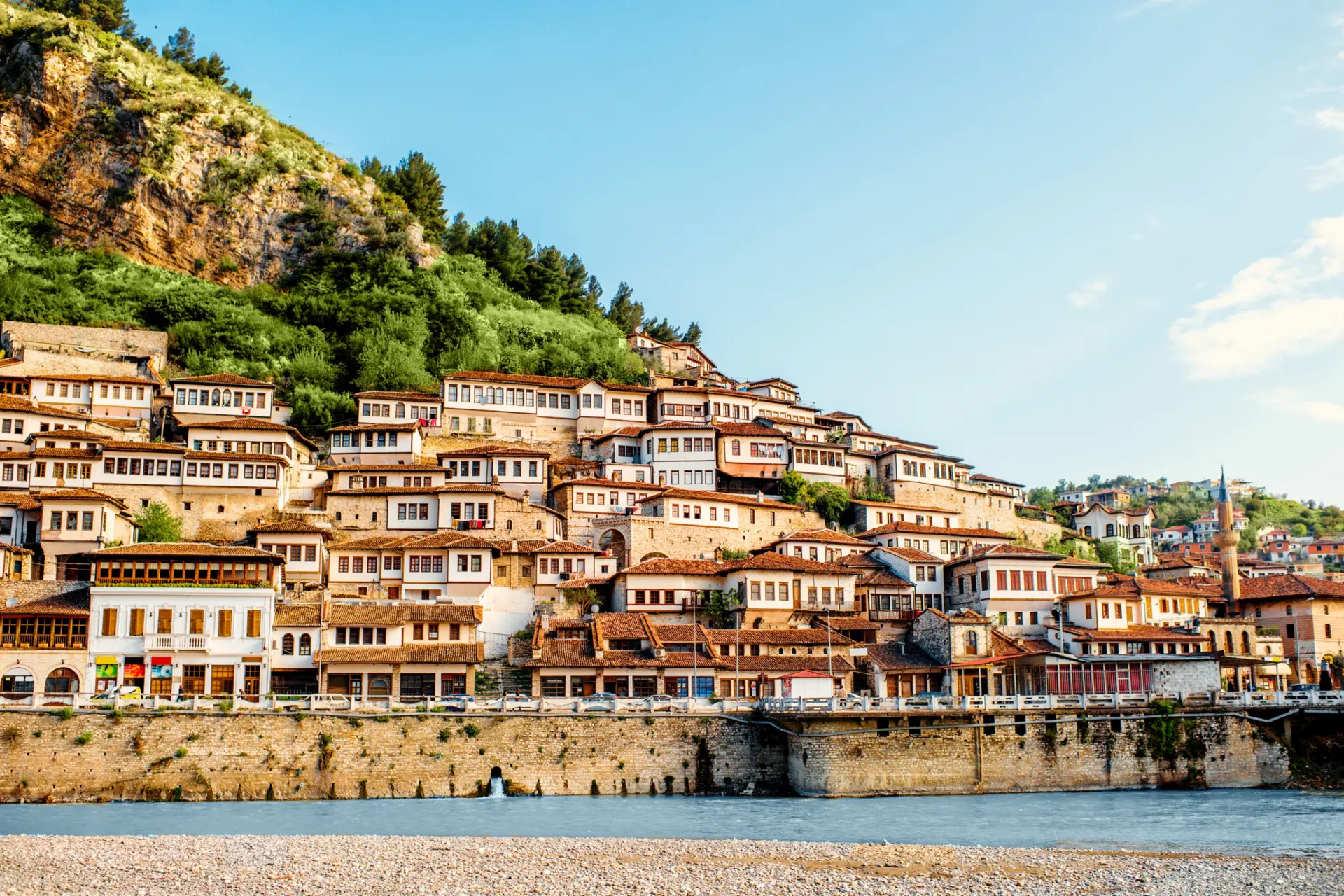
The two UNESCO cities of the south showcase Albanian Ottoman architecture. Berat, known as the city of a thousand windows, spreads its white houses across the slopes of Tomorr (2,416 m) above the Osum, which can be navigated by canyoning between April and June. Gjirokastër, a stone city, preserves its fortress, its tower houses with slate roofs and the birthplace of Ismail Kadaré. Between the two, the archaeological site of Apollonia and the blue springs of Syri i Kaltër complete a 4 to 5-day itinerary. Mediterranean climate, dry summers at 35°C.
Eastern Lakes
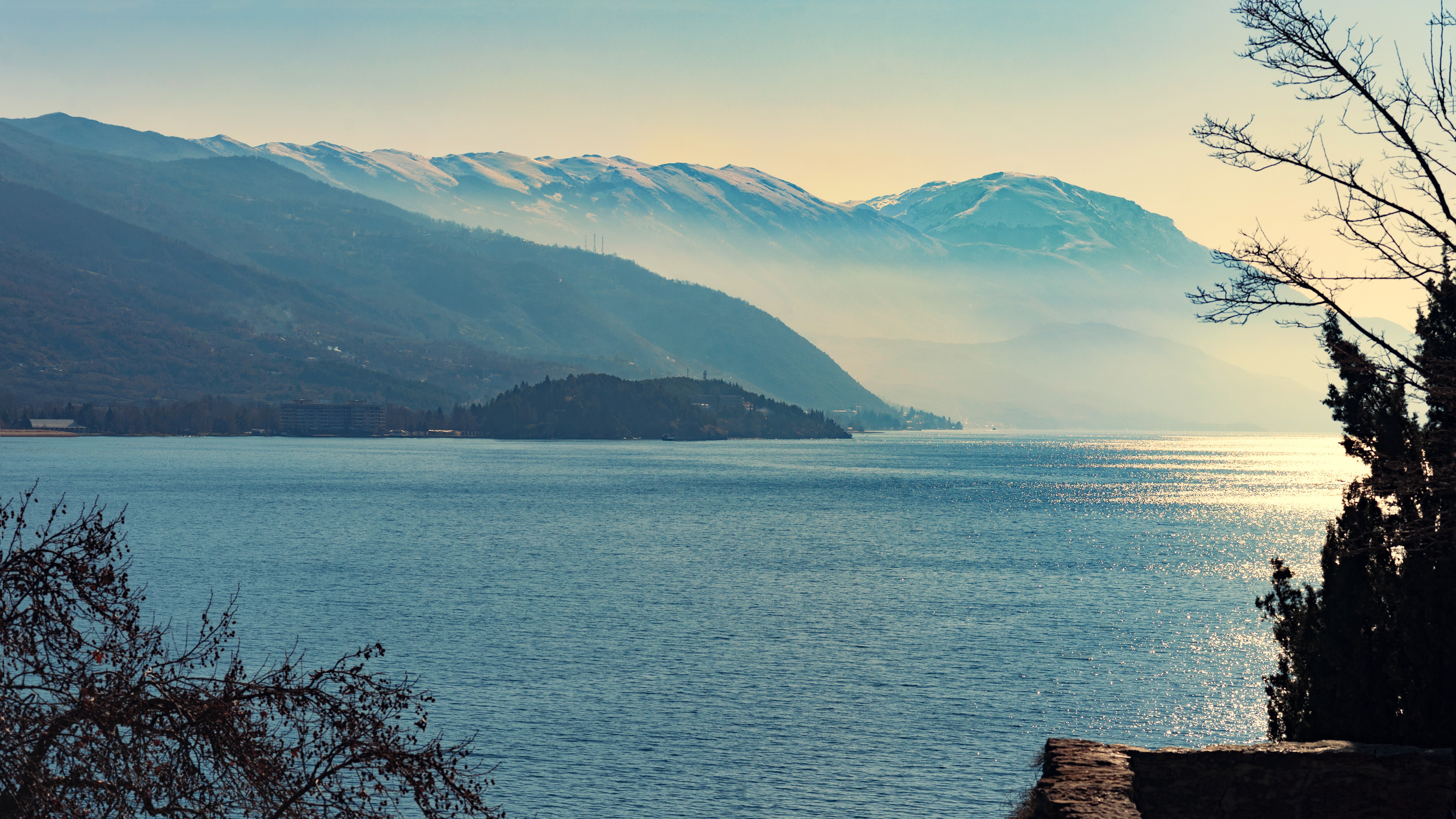
Three lakes mark the eastern border. Lake Ohrid, at 695 m altitude, is home to endemic fauna and the Sveti Naum monastery on the Macedonian side, accessible from Pogradec. Further south, the Prespa lakes, shared between three countries, welcome colonies of Dalmatian pelicans in the national park. To the north, Lake Skadar on the Shkodër side spans 370 km² and can be crossed by boat from the village of Shiroka. A still little-visited region, best combined with the Alps to the north or Korçë to the south, the city of beer and serenades.
Explore by theme
Unique experiences tailored to every traveler.
Culture & Heritage
Temples, musées, sites historiques
Nature & Landscapes
Parcs nationaux, montagnes, forêts
Sea & Beaches
Littoral, îles, sports nautiques
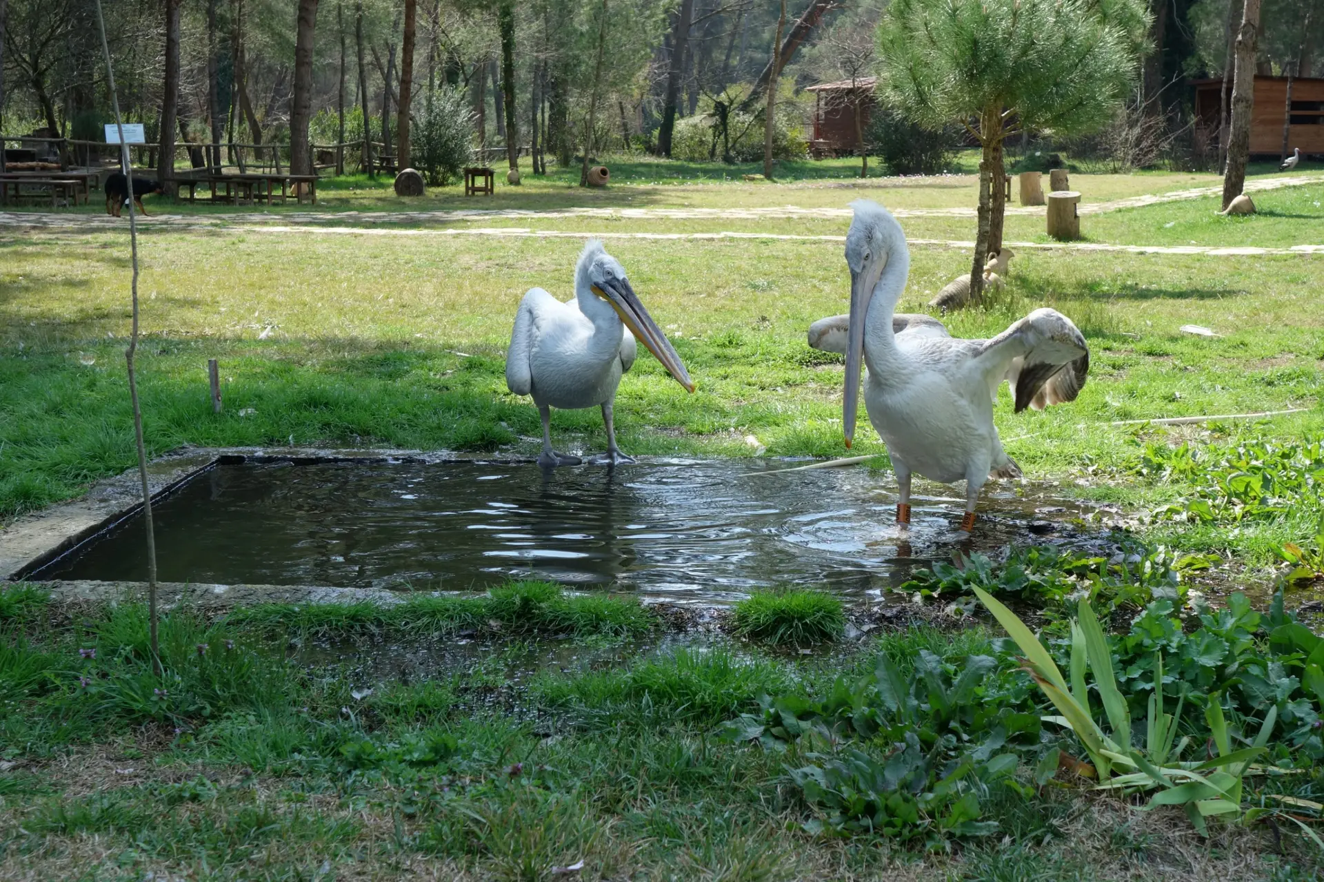
Wildlife & Biodiversity
Observation animale, sanctuaires, réserves
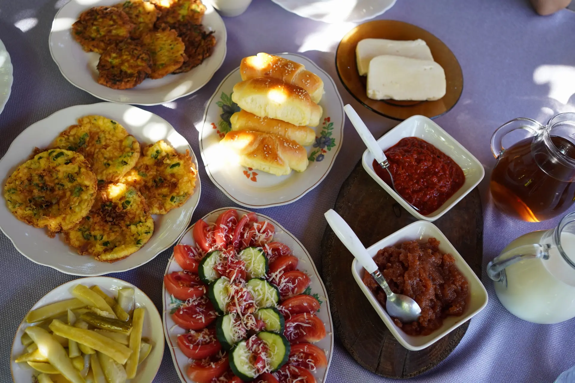
Gastronomy
Cuisine locale, marchés, cours de cuisine
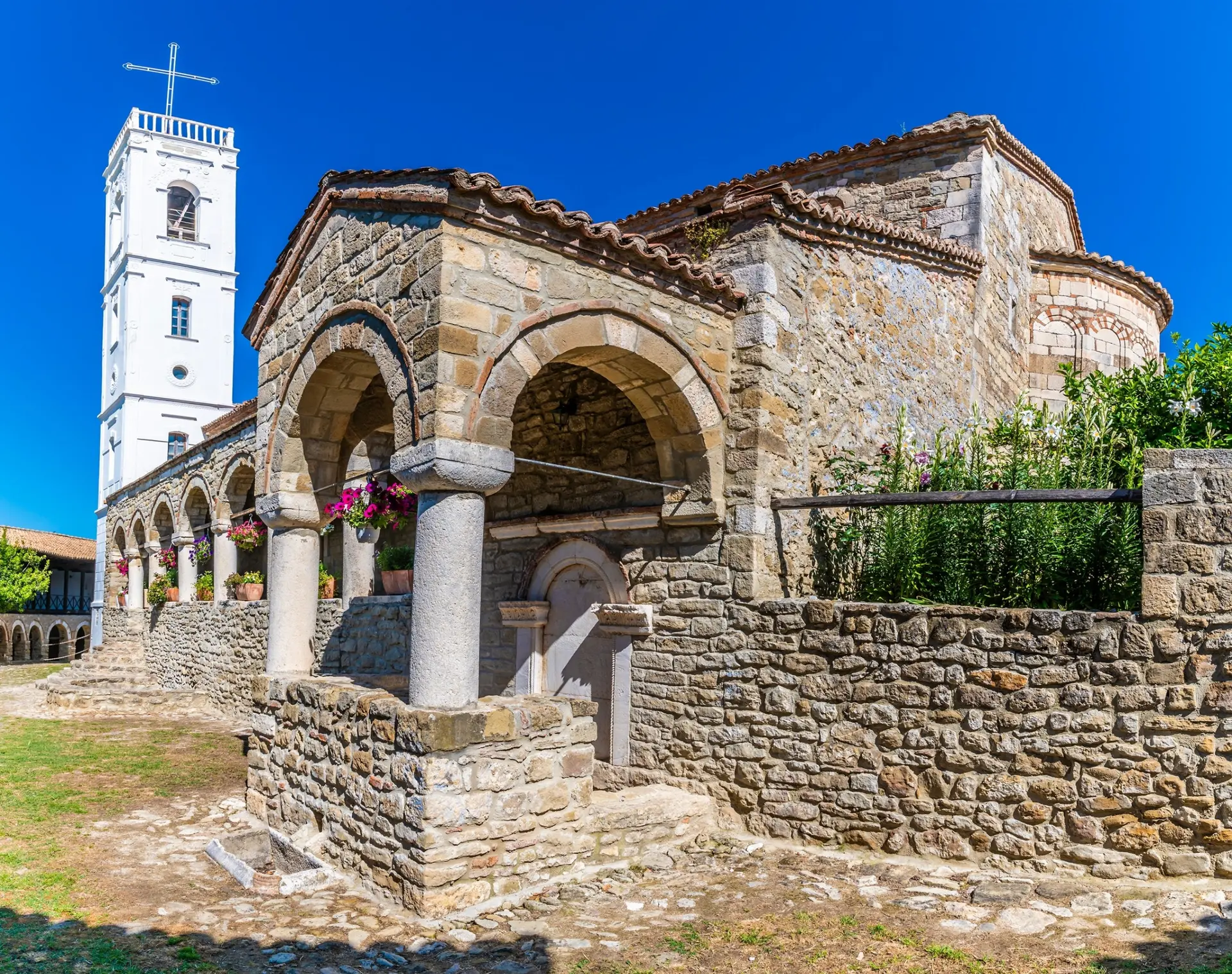
Spirituality
Temples, méditation, retraites spirituelles
We use cookies to improve your experience and measure our site's audience. You can choose what you accept. Learn more.