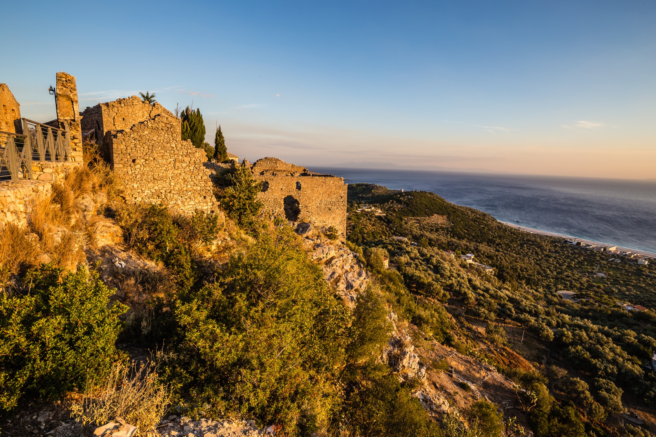
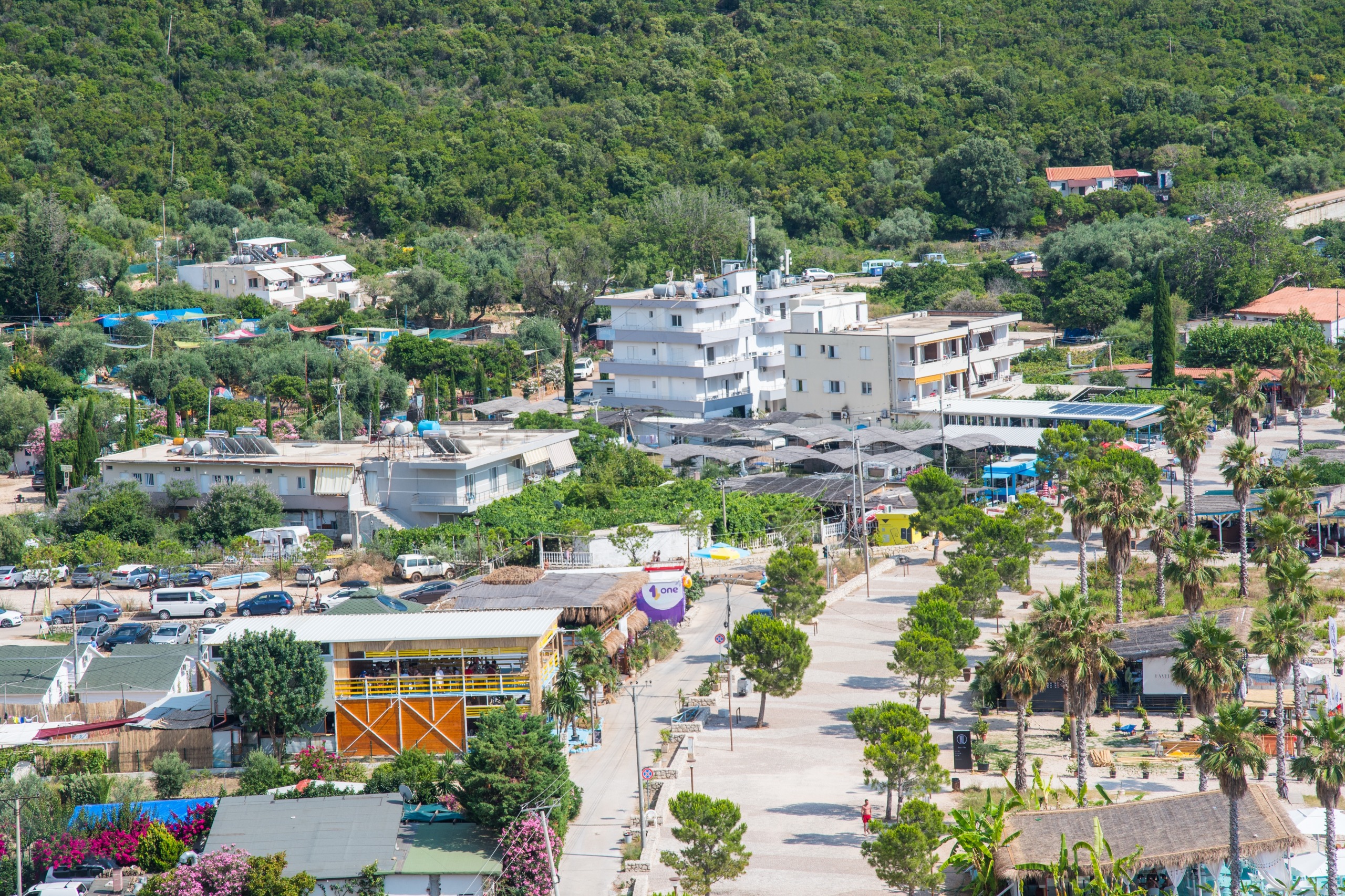
Maja e Vajushes
Maja e Vajushes
A 2,100-meter summit on the Albania-Montenegro border, Maja e Vajushës can be climbed in a day from Lëpushë in the Albanian Alps.
Maja e Vajushës is a 2,100-meter summit located in the Kelmendi massif at the far north of Albanie. Its summit ridge marks the border between Albanie and Montenegro and represents a transition zone between the karst and schistose geological landscapes of the Albanian Alps. Less frequented than neighboring peaks, this summit can be climbed in a day from the villages of Lëpushë or Grebaja.
Why climb Maja e Vajushës
The summit offers a 360° panorama over the Albanian Alps and the neighboring Prokletije massif, nicknamed "the accursed mountains." The Kelmendi region, of which this peak is part, has long been a disputed border territory: its inhabitants historically defended it against Montenegrin incursions, shaping a strong mountain identity still visible in the traditions of Lëpushë and Grebaja villages.
The climb remains accessible to hikers in good physical condition without technical equipment. It makes for a worthwhile alternative to the heavily trafficked trails around Theth or Valbona in the same mountain chain often called the "Albanian Alps."
What to see from the summit
The trail first crosses high-altitude meadows and beech forests before tackling a steeper ascent toward the ridge. Once at the summit, the panorama breaks down as follows:
- To the west: the Prokletije massif on the Montenegrin side, with its characteristic karst formations (limestone pavements, sinkholes, limestone cliffs).
- To the east: more rounded schistose reliefs that contrast with the vertical nature of the western karst.
- To the north: border valleys and snow-capped peaks for much of the year.
This geological transition from karst to schist, observable when crossing the ridge, is one of the key attractions of the summit for geomorphology enthusiasts.
When to go
The passable season extends from late spring to early autumn, roughly from June to mid-October. Outside these months, snow and fog make the trail difficult to follow and access to the departure villages can be complicated.
The best compromise
July and August offer the most stable conditions but also see higher accommodation demand. September and early October remain pleasant, with forests taking on autumn hues and cooler temperatures at altitude.
How to get there
Access to the summit is on foot only. Two starting points exist:
- From Lëpushë (Albanie): a high-altitude village accessible by car from Vermosh or Koplik via a winding mountain road.
- From the Grebaja valley (Montenegro): a starting point at approximately 1,150 meters elevation on the Prokletije National Park side.
The itinerary announced locally covers approximately 13 km one way for 900 meters of elevation gain, taking 2 to 3 hours to hike for a trained walker. Allow more time if you include breaks and the return journey. The trail is marked but it's helpful to have a GPS track, as fog can quickly obscure ridge landmarks.
Practical advice
- Difficulty: a day hike, moderate to challenging depending on your pace.
- Equipment: ankle-supporting hiking boots, windproof jacket, water (few reliable water sources in the dry season), snacks, map or GPS track.
- Border: the ridge corresponds to the Albania-Montenegro boundary; bring identification.
- Accommodation: several guesthouses in Lëpushë, including establishments known as Bjeshkët e Nemuna ("the accursed mountains" in Albanian). Camping is tolerated in high-altitude pastures.
Nearby attractions
The Kelmendi region is well-suited for a multi-day circuit. In the vicinity:
- Lëpushë: the departure village, known for its high-altitude pastures and summer traditional festival.
- Germenj-Shelegur National Park: another protected area in Albanie for extending your nature itinerary.
- Karaburun Peninsula: a complete change of scenery on the Adriatic coast if you combine mountains and coastline.
Frequently asked questions
Frequently asked questions
Not necessarily. The trail is marked from Lëpushë, but a local guide is recommended in case of uncertain weather or if you're not familiar with reading mountain maps.
Moderate to challenging: 900 meters of elevation gain over approximately 13 km, with no technical passages but with continuous climbing toward the ridge. Good physical fitness is necessary.
The ridge marks the border. Informal passage by trails is not an official border crossing; to legally reach Grebaja, it's better to use official road border crossings.
Guesthouses in Lëpushë are the most convenient option. Camping is also possible in high-altitude pastures, respecting nature and herds.
To include this summit in a broader itinerary through the Albanian Alps and the rest of the country, consult our trips to Albanie.
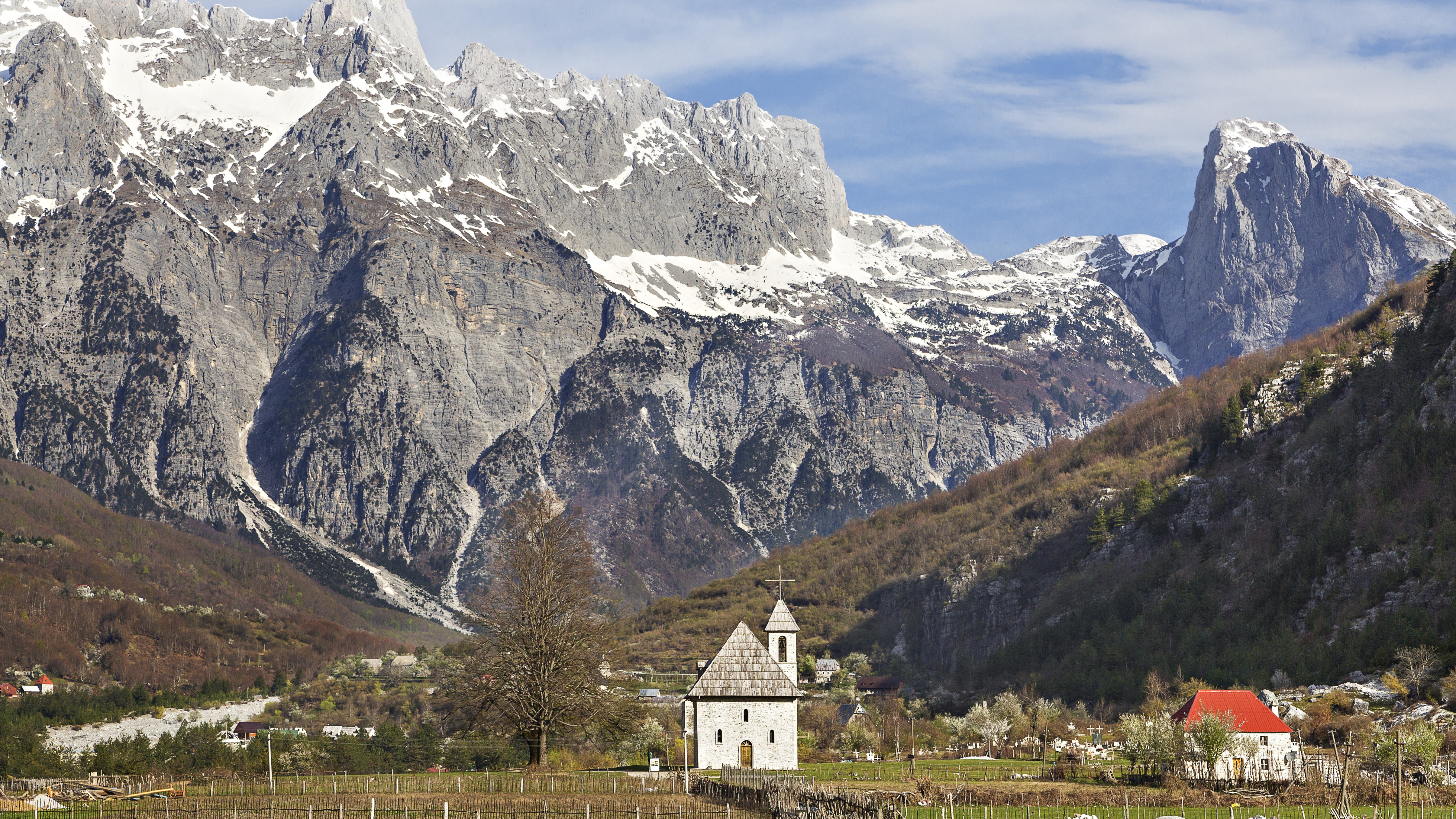
Nearby
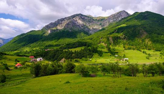
Interested in this visit?
We can include it in your personalised itinerary.